
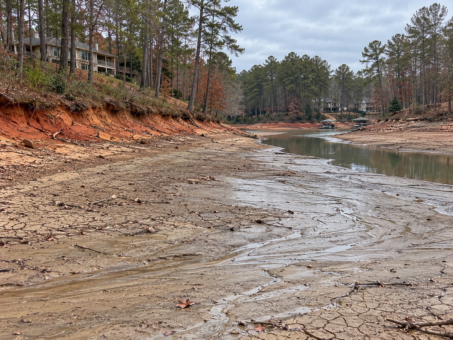
Cove dredging
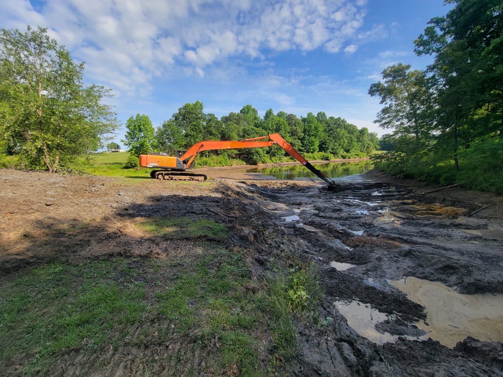
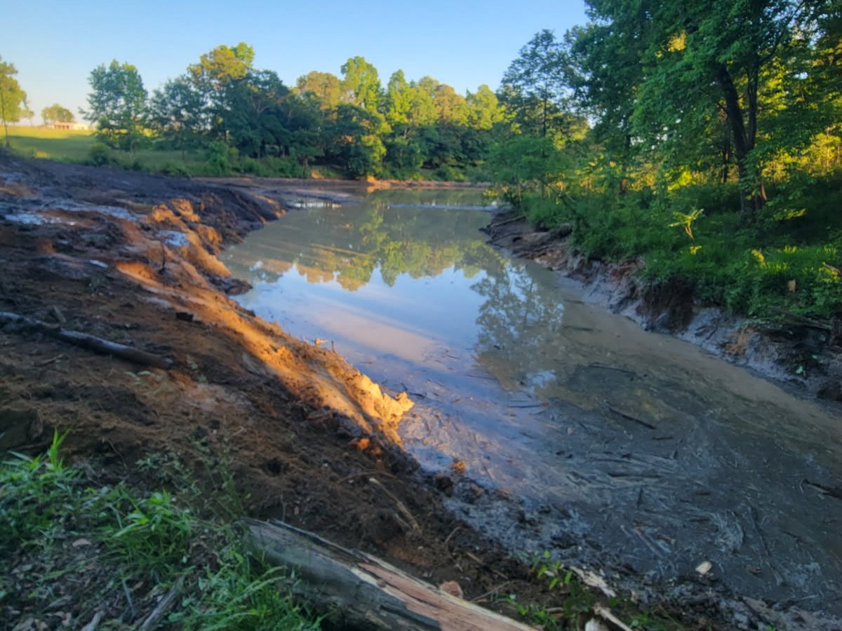
Silted coves cleared back to their original depth so water returns when the lake rises.
We help property owners on Lake Hartwell and Clarks Hill restore shallow coves, improve shoreline access, and clear accumulated sediment through dry dredging and excavation.
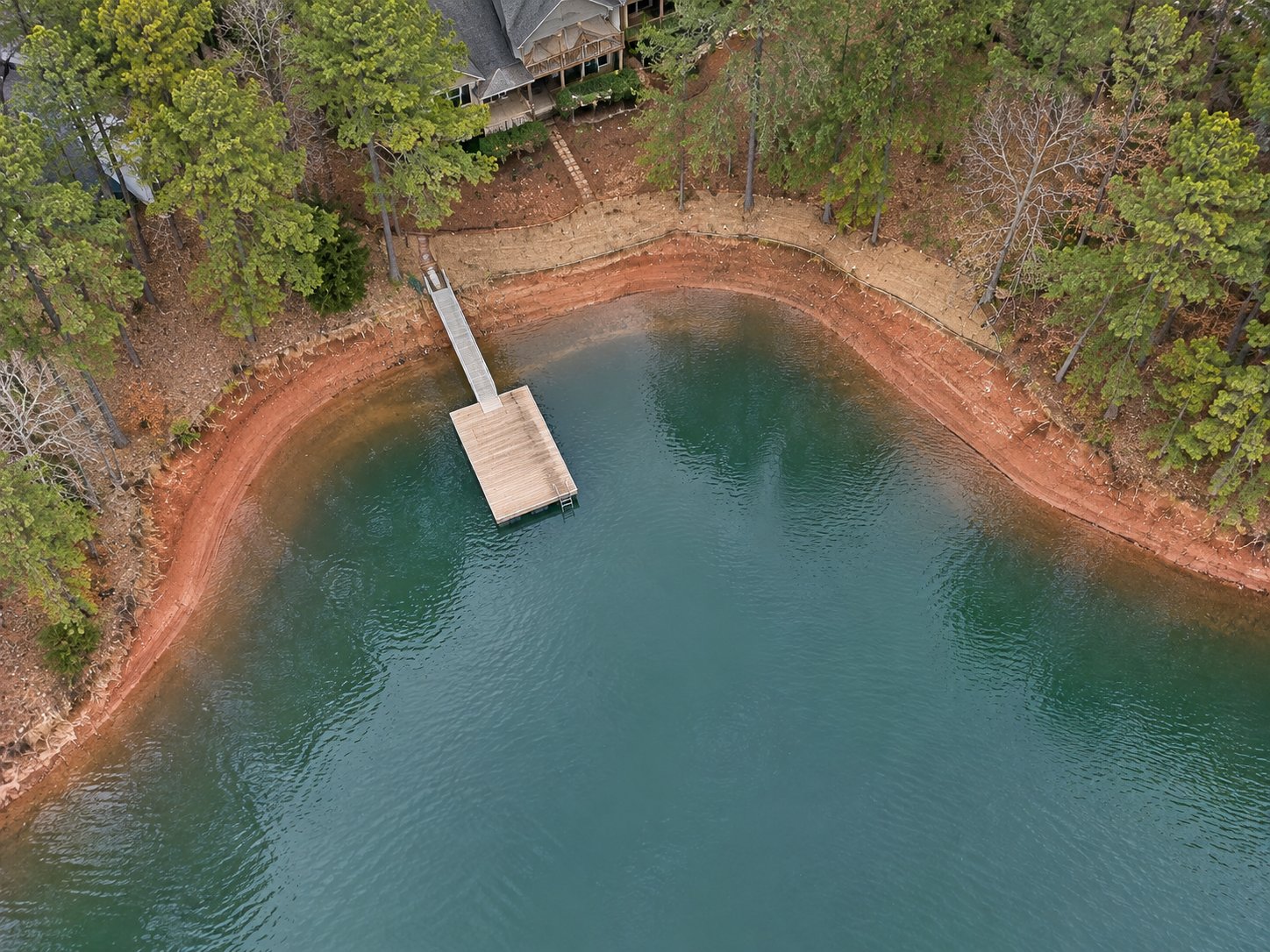
When lake levels, site access and approvals permit, dry dredging allows excavation of accumulated material above the waterline. The exposed silt is removed down to the original lake bottom, never below it.
How the process works ↗Concept diagram. Actual work depends on site conditions and approvals.
Practical earthwork for the places where land meets water.
Silted coves cleared back to their original depth so water returns when the lake rises.
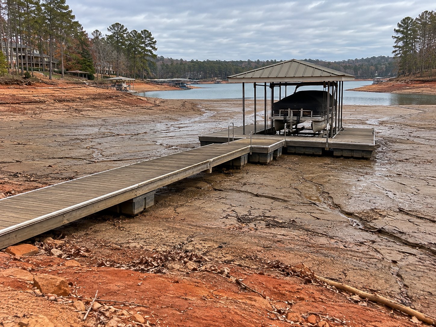
Silt removed from under and around your dock so boats can reach the slip again.
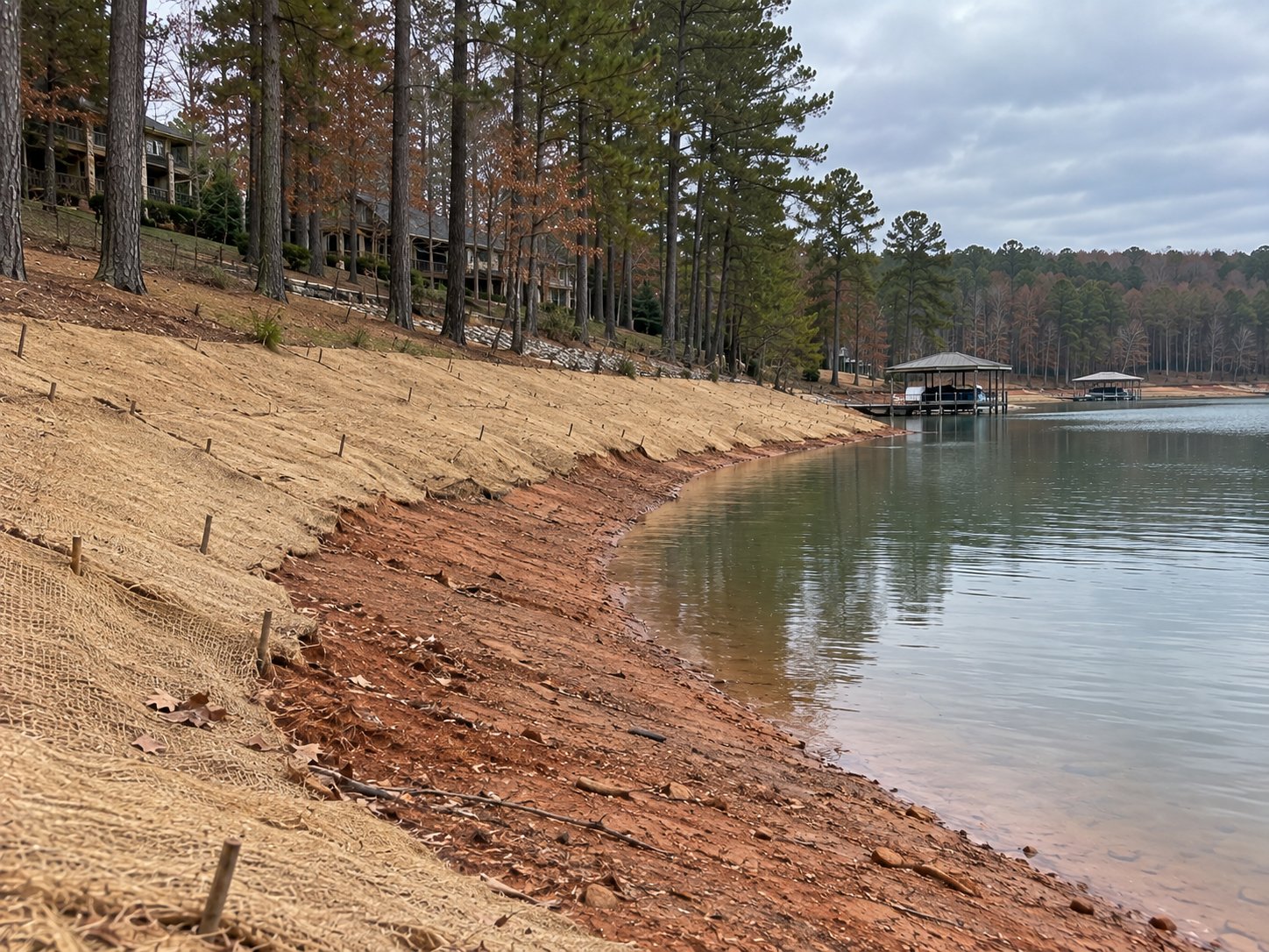
Reshaping and grading of the shore once silt is removed, leaving no low spots to hold water.
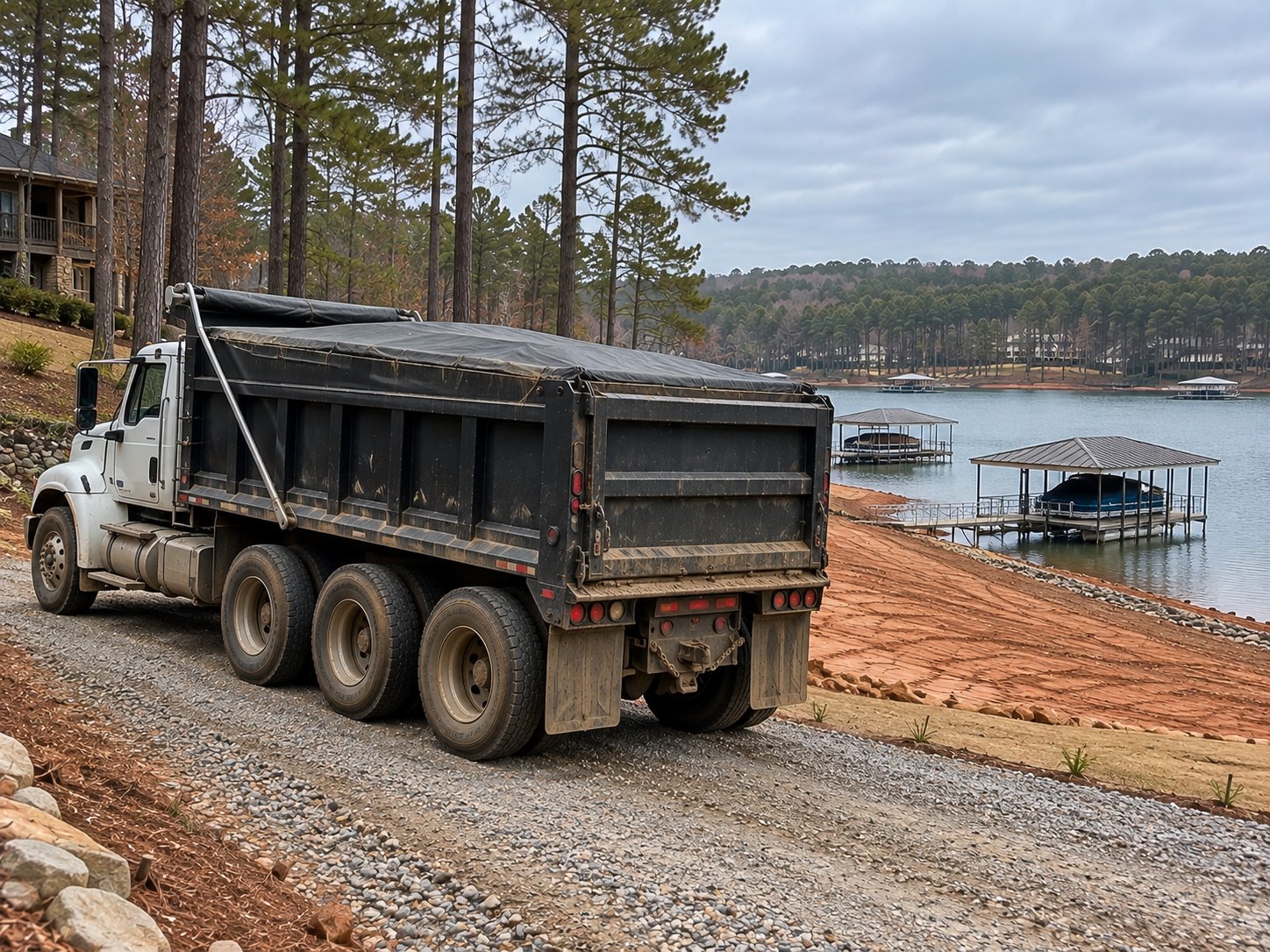
Every load trucked off-site to an approved disposal location. Priced by the cubic yard.
We walk the shoreline, measure the silt, and estimate the cubic yards to remove.
The U.S. Army Corps of Engineers issues the permit to you as the property owner. Permitting is arranged separately from our dredging contract.
With the lake down, crews excavate the silt and truck it off site the same day.
We grade the shore and take the required completion photos for the Corps within 10 days.
No hydraulic or wet dredging. Work happens above the water.
We remove silt down to the original lake bottom and never cut below it.
The finished grade leaves no pockets that trap water.
Spoil goes to an approved site off federal land, never back toward the lake.
Project scope and permitting requirements must be confirmed with the relevant authorities before work begins.
A conceptual comparison of shoreline conditions.
 BEFORE · CONCEPT
 AFTER · CONCEPT
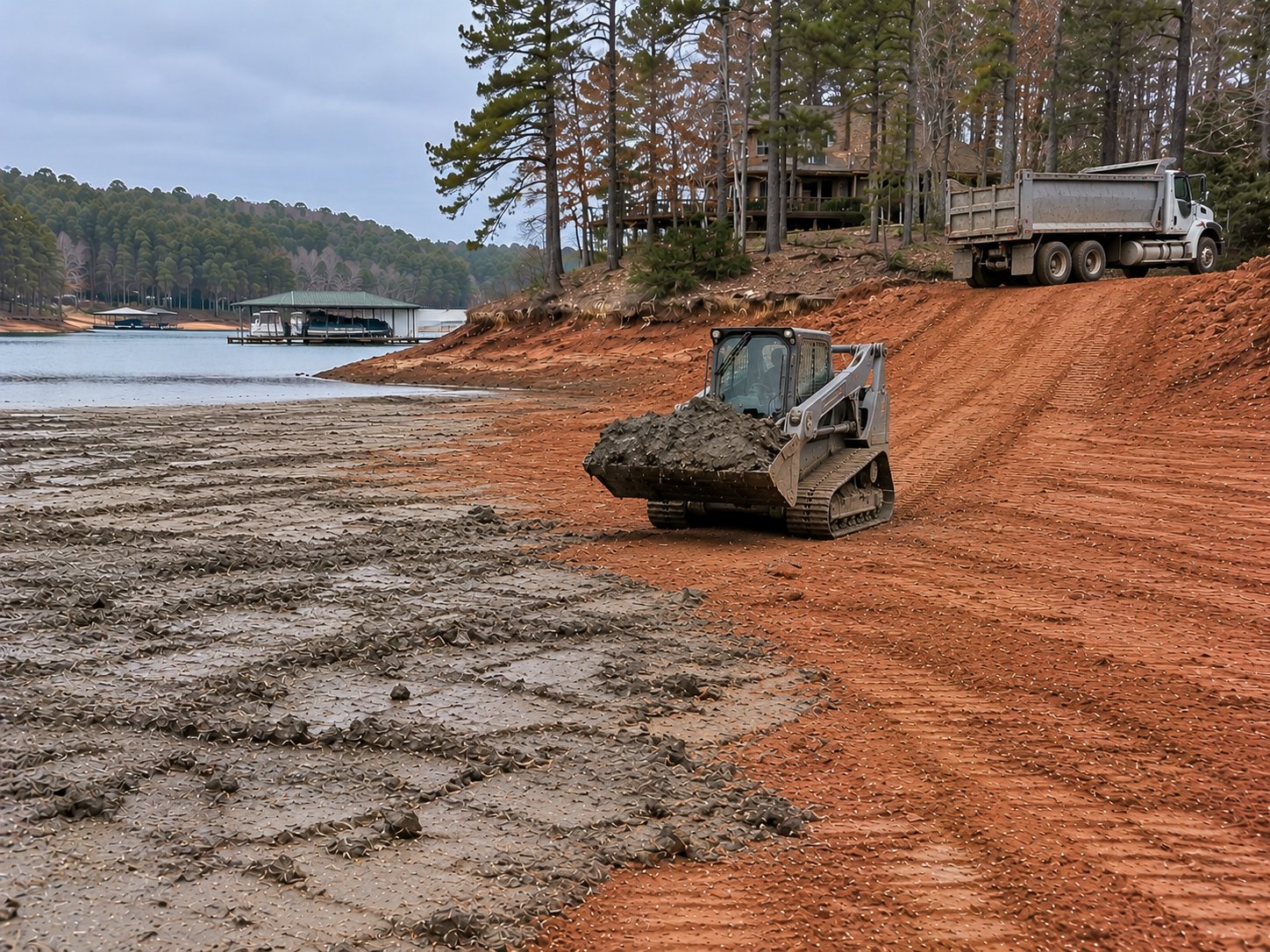
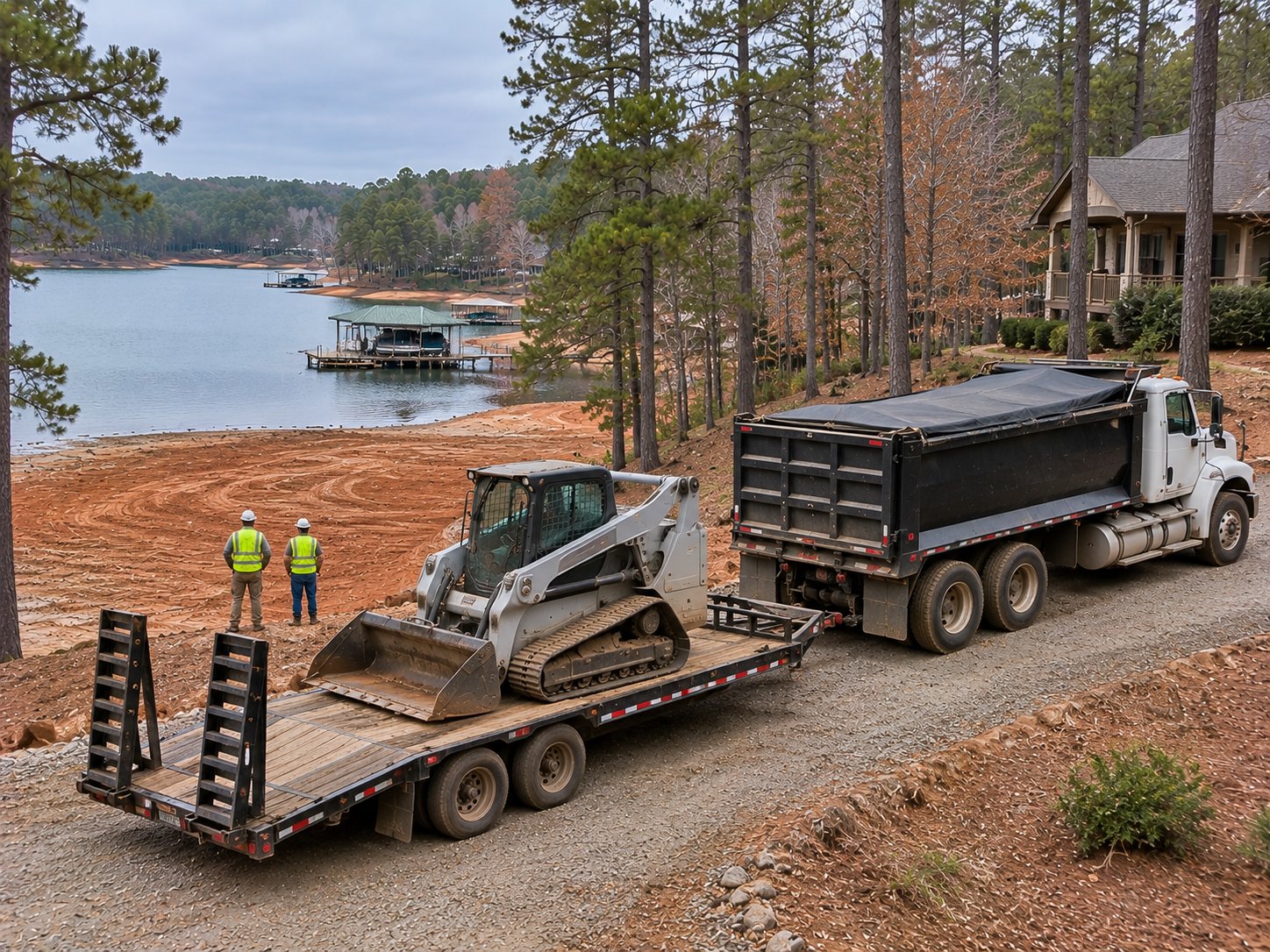
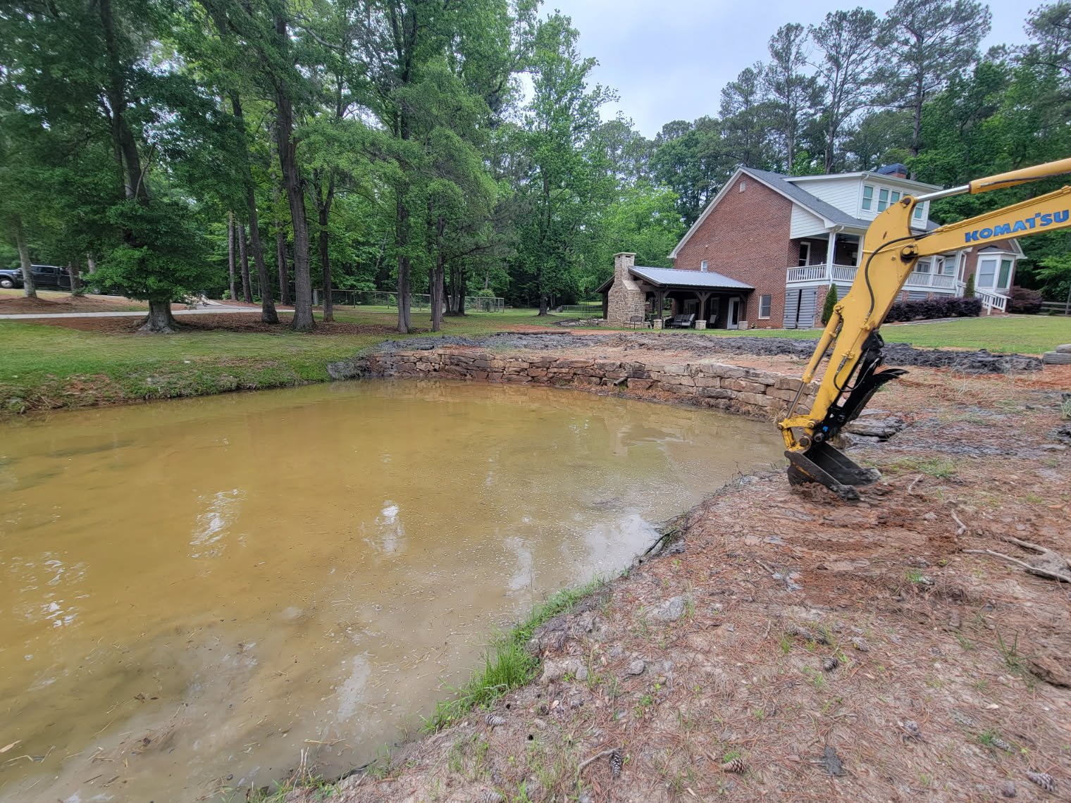
Private ponds can accumulate sediment, lose usable depth, or develop overgrown edges. We evaluate access, excavation conditions and removed material so the site can be planned correctly.
Based in the region and focused on the shoreline communities around these lakes, plus private ponds by inquiry.
Shoreline and cove work in the Lake Hartwell area.
Site visits and shoreline work around Clarks Hill / Lake Thurmond.
Send us a few details about your shoreline or pond. We'll review your request and follow up about possible next steps.

This is a staging preview. The form does not send, save or email requests yet. Submissions remain unavailable until the company-owned Fillout and Google accounts are connected and a real submission, photo delivery, email notification and Google Sheets backup are successfully tested.